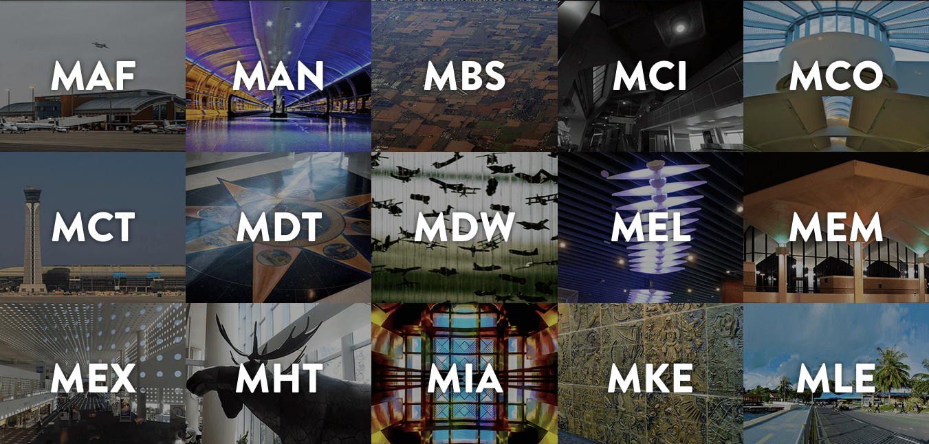
This is too cool: Airportcod.es,В a site dedicated to the backstories of airports’ three-letter abbreviations.
I’ve always loved searching for flights and discovering my final destination’s airport code. Some are self-explanatory: LHR, MIA.
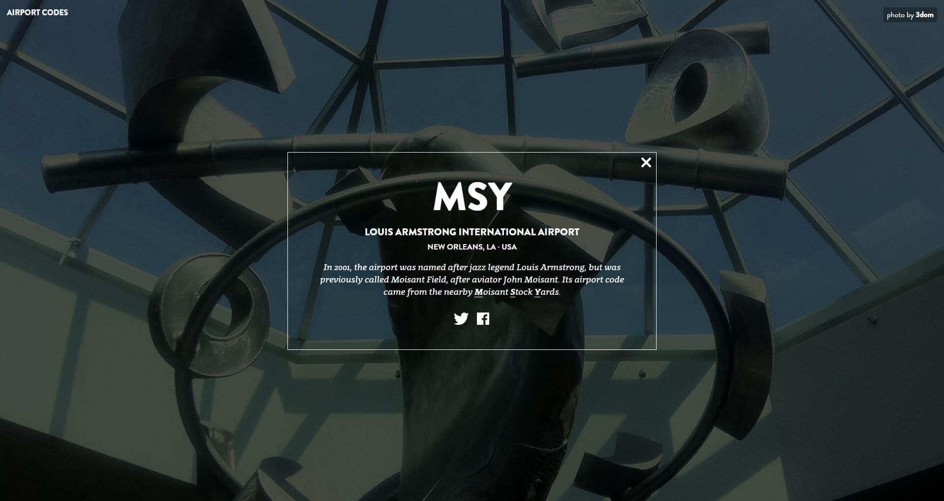
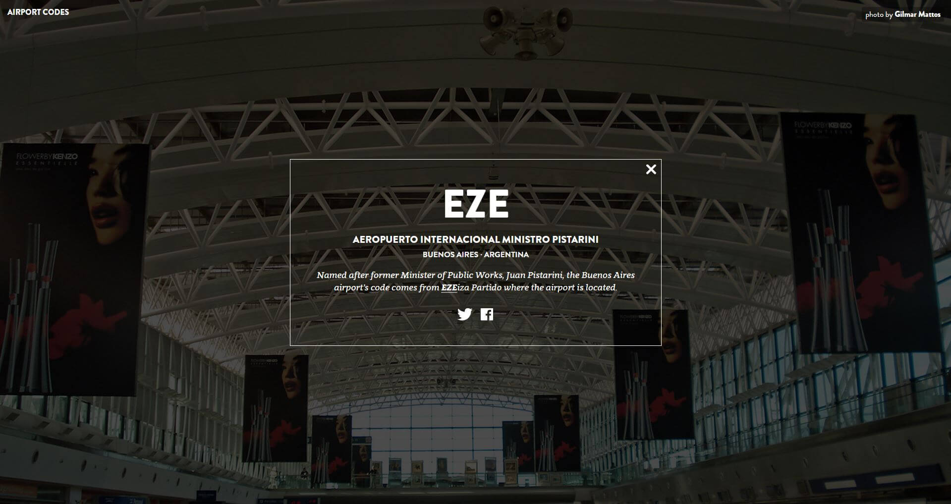
Others have made me think, whaaaaaaaaa??—likeВ MSY for New Orleans, EZE for Buenos Aires. (Click the images below, if you’re curious!)
I’m glad that I now have an easy place to go to demystify them. Airportcod.es currently hasВ 369 airports from 91 countries, and the sites’ designers/developers, Lynn Fisher and Nick Crohn are adding more each day.
“Flight Patterns” is an animated rendering of air traffic patterns over North America during one day (August 12, 2008). To create it, artist Aaron Koblin parsed FAA data and charted the courses of 205,000 different planes; the colors correspond to the type of aircraft model.
The resulting video is both beautiful and mesmerizing. The individual flight paths converge until they form a rough outline of the United States. Within that, you can see various hubs–like NYC, Houston, Chicago and Los Angeles–light up as more of the traffic passes through them. I eventually had to tear myself away from the piece because I could have watched it for hours.
Watching the video at home isn’t the same as seeing it on a larger, gallery screen, but you can get the idea: