hiking

San Juan de Gaztelugatxe

One Basque CountryВ place that all of us wanted to visit was San Juan de Gaztelugatxe.

It’s a little chapel, dedicated to Saint John, that sits atop 231 steps, on a tiny island that’s connected to the mainland by a long stone bridge. Before going to Spain, I found images of the place to be so enchanting!В I even posted a photo of it, the day I departed for Spain.

My family and I referred to it as “The Great Wall”—because it kind of looks like it!

…also, we weren’t sure how to pronounce “Gaztelugatxe.” (Once in Basque Country, we learned it sounds like “gatz-uh-leg-at-tay.”)

I really enjoyed the ride from Hotel Ellauri to Gaztelugatxe. The last part of the drive was along the coast—and you know how much I love being by the beach. Seeing the small coastal towns and smelling the salty air just made me happy.

I was surprised at how hopping the the parking area for Gaztelugatxe was. We’d barely seen people, over the previous few days, and I didn’t think this would be such a popular attraction.

But then, they wanted to see this, for themselves, just as I did.

San Juan de Gaztelugatxe, Spain | nycexpeditionist.com

From the parking lot, we walked down a steep, paved ramp to a lookout point. It had the perfect view of Gaztelugatxe.

San Juan de Gaztelugatxe, Basque Country, Spain | nycexpeditionist.com

The coast, near San Juan de Gaztelugatxe, Basque Country, Spain | nycexpeditionist.com

After snapping a ton of pics, we headed down a narrow, winding, rocky, dirt path to get to the base of the bridge. I was surprised that there wasn’t an easier way down, given the amount of people (including kids and older folks!) who make the trip. But I suppose that kind of overprotectedness is what you get used to from living in the States. 😉

Finally, we reached the bridge.

San Juan de Gaztelugatxe, Basque Country, Spain | nycexpeditionist.com

We chose the hottest point of the day to walk up the steps.В It was high noon and not a cloud in the sky.

San Juan de Gaztelugatxe, Basque Country, Spain | nycexpeditionist.com

Walking up San Juan de Gaztelugatxe, Basque Country, Spain | nycexpeditionist.com

The climb wasn’t bad, at all—just hot! We stopped a few times on the way up, to sip water and enjoy the views.

At one point, we passed a wedding party coming down the stairs. The bride looked as if she’d walked down stone steps in a gown and stilettos every day. But I really wanted to applaud one of the older women in the group. She’d taken off her heels and was walking down barefoot!

Soon, we reached the chapel at the top.

The chapel of San Juan de Gaztelugatxe, Basque Country, Spain | nycexpeditionist.com

San Juan de Gaztelugatxe, Basque Country, Spain | nycexpeditionist.com

After refueling with granola bars and water, we headed back down the stairs.

M & P at San Juan de Gaztelugatxe, Basque Country, Spain | nycexpeditionist.com

San Juan de Gaztelugatxe, Basque Country, Spain | nycexpeditionist.com

Near the bottom, there was another staircase that lead down to a rocky beach.

The beach at San Juan de Gaztelugatxe, Basque Country, Spain | nycexpeditionist.com

The beach at San Juan de Gaztelugatxe, Basque Country, Spain | nycexpeditionist.com

By the time we made our way back up the rocky, dirt path, to the parking lot, we were sweaty and hungry—and very much in need of cervezas. Luckily, there was a bar/restaurant that served that, and pintxos. We chowed down on a few types of tortillas and toasted the day…before heading on to Bilbao.

Meme and E, post-hike

Gorbea Natural Park, Basque Country, Spain

Gorbea Natural Park was one big reason we stayed at Hotel Ellauri. In our desire toВ detox from city life, we wanted easy access to nature, and Ellauri sits near the edge of the park.

On our second day in Spain, we went hiking in Gorbea. Kepa and Randa, Ellauri’s innkeepers, were very knowledgable about the trails. They gave us several options, ranging in length from two to eight hours. We weren’t quite feeling an all-day hike, so we chose a nearby trail that would take an hour and a half to ascend, and an hour to descend.

After breakfast, we went to Zeanuri’s tiny store for fruit, bread and cheese. That afternoon, we drove through the tiny town of Areatza and up a narrow, winding road to the trailhead. We parked in the Pagomakurre area, thenВ started the Arraba-Kargaleku trek.

Hiking in Gorbea Natural Park | nycexpeditionist.com

It was the perfect day for hiking—sunny, yet cool.

Hiking in Gorbea Natural Park | nycexpeditionist.com

The gravelly path made for pretty easy walking; the ascent wasn’t very steep.

Gorbea Natural Park | nycexpeditionist.com

Along the way, we passed a few other hikers, most who were on their way down. That was one nice thing about the trail—there was never a point when we were hiking alongside or behind anyone.

Gorbea Natural Park, Basque Country, Spain | nycexpeditionist.com

About 20 minutes into the hike, we came across a herd of grazing goats. Each one had a bell tied to his neck. The collective sound was a mellifluous symphony.

Goats at Gorbea Natural Park, Basque Country, Spain | nycexpeditionist.com

Shortly after, we came across some cows. They, too, had bells around their necks, though of a different size from the goats. They created their own melody.

Cow at Gorbea Natural Park, Basque Country, Spain | nycexpeditionist.com

Cows grazing at Gorbea Natural Park, Basque Country, Spain | nycexpeditionist.com

Farther along the way, horses grazed. Of course, they had their own bells.

Horse at Gorbea Natural Park, Basque Country, Spain | nycexpeditionist.com

Horses at Gorbea Natural Park, Basque Country, Spain | nycexpeditionist.com

I’d never hiked a trail with so many animals—and such musical ones! The sounds of the different bells, plus the green landscape, were incredibly soothing and relaxing.

After about an hour and a half of hiking, we reached what appeared to be the summit of our trail.

Gorbea Natural Park, Basque Country, Spain | nycexpeditionist.com

We stopped for a snack…

M & P at Gorbea Natural Park, Basque Country, Spain | nycexpeditionist.com

…and just enjoyed the view.

Gorbea Natural Park, Basque Country, Spain | nycexpeditionist.com

Gorbea Natural Park, Basque Country, Spain | nycexpeditionist.com

As we ate, we realized that hikersВ were coming over the ridge. It was possible to goВ from summit to summit. We asked how far to the next one; it would take about an hour and a half.

We debated whether to continue on. Peter was game, but Mal and I weren’t sure we were up for walking another 4+ hours. (There and back, plus returning to our car.)

So we took a few more photos…

M&P, Gorbea Natural Park, Basque Country, Spain | nycexpeditionist.com

H&M, Gorbea Natural Park, Basque Country, Spain | nycexpeditionist.com

…before hiking back down.

The Pacific Crest Trail

One of the best books I read this year was Wild: From Lost to Found on the Pacific Crest Trail .

wild

In this memoir/travelogue, Cheryl Strayed recounts the hardest years of her life: When she’s just 22, her mother suddenly dies from cancer. Shattered by her death, Strayed loses touch with her siblings, cheats on her husband, destroys her marriage and dabbles in drugs. Four years into her grief, Strayed decides to embark on 1,100-mile a solo hike along the Pacific Crest Trail, from California to Washington—never mind that she’d never backpacked before. Her journey is full of mishaps and brushes with danger, as well as encounters with many kind strangers. Along the way, she finds the strength that eventually helps her put her life back together.

Perhaps it’s because I’m an east coaster, but I’d never heard of the Pacific Crest Trail (PCT) before I read the book.В I’d known about the Appalachian Trail, which runs from Georgia to Maine, and even encountered it on my own hikes. But I didn’t know it had a west coast cousin that runs 2,650 miles from Mexico to Canada.

And now I—and surely millions of others who’ve read Wild—really want to hike the PCT, too.

But just part of it.

I’m not going to pretend that I’m bad-ass enough to quit my job and spend months hiking by myself. Strayed makes it clear that while the PCT was a rewarding adventure of a lifetime, it definitely wasn’t easy. She lost toenails, encountered wild animals and battled the fatigue, hunger and tedium that comes with walking 20+ miles a day.

But her descriptions of the trail are gorgeous. The PCT runes through six of North America’s seven ecozones. Strayed writes about sweating through the desert, sliding over icy patches in the mountains and walking among wildflowers in the woods. Almost all the hiking I’ve done has been on the east coast—amid gray mountains and pine trees—or up and down Central American volcanoes. The PCT sounded completely different and intriguing.

Photos, taken by hikers, on the Pacific Crest Trail Association’s websiteВ attest to how beautiful and varied the scenery is:

Southern Terminus: Pacific Crest trail head at US/Mexican Border Photo by Alan Beneventi

Southern Terminus: Pacific Crest trail head at US/Mexican Border. Photo by Alan Beneventi

Mojave Desert; Photo by Aaron Doss, www.pbase.com/aarondoss

Mojave Desert. Photo by Aaron Doss, pbase.com/aarondoss

Muir Pass; Photo by Aaron Doss, www.pbase.com/aarondoss

Muir Pass. Photo by Aaron Doss, pbase.com/aarondoss

Velma Lakes - Desolation Wilderness; Photo by Paul Zaretsky - www.paulzaretsky.com

Velma Lakes. Photo by Paul Zaretsky, paulzaretsky.com

View E, Mt. Shasta, Section Q, mile1609.5 - photo by Jim Payne.

Mt. Shasta. Photo by Jim Payne.

Diamond Lake Photo by Tyson Fisher - www.tysonfisher.com

Diamond Lake. Photo by Tyson Fisher, tysonfisher.com

along the PCT in central Oregon; photo by Ana Gipe

Central Oregon. Photo by Ana Gipe

Crater Lake, Photo by Eric Valentine

Crater Lake. Photo by Eric Valentine

Mt. Rainier from Goat Rocks Wilderness. Photo by David Geisinger

Mt. Rainier from Goat Rocks Wilderness. Photo by David Geisinger

Even more gorgeous photos here. Plus, see the winners of the 2012 Pacific Crest Trail Association’s photo contest.

Have you read Wild and become inspired to hike the PCT? Or have you already done it?

(All images via the PCTA)

A Long Weekend at the Grand Canyon

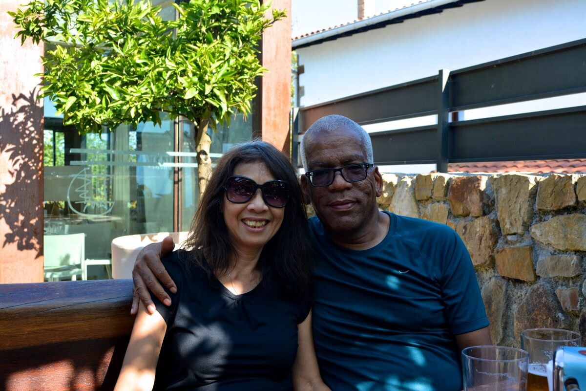
Two Tuesdays ago, I returned from my long weekend trip to the Grand Canyon. It was exactly the quick escape I’d been craving, but it wasn’t as idyllic as we’d planned. While I was able to deal with my cold enough to get outside and enjoy myself, poor Mal, unfortunately, was battling some awful ailment that worsened as the trip progressed and kept her hotel-bound for most of the trip.

Peter, his brother, Paul, and I still got in a few hikes, despite felling bad that she couldn’t join us. (Mal insisted that we all go without her.) And luckily, Mal was able to see the canyon a few times from the rim—and that alone, I think, made the trip worth it for her. I think. And in the end, she got all of us sick, anyway, and I was still glad we went!

Anyway, here are some highlights from the trip:

The car we rented.В I don’t even drive, so I feel weird saying that our car was one of the best things about the weekend, but it really was. Before our trip, Mal and Peter had reserved an economy car from Hertz. But when we flew into Phoenix very late on Friday night, the rental agents informed us that they had run out of small cars—and would we mind a free upgrade to a Mustang convertible? Um, you can probably guess what our response was.

After spending the night at the Aloft by the airport, we set out to the GC via Flagstaff with the top down and the music up. Within minutes, we stopped feeling like ridiculous tools and were loving driving in the open air. It kind of reminded me of being in the back of a pickup truck in Guatemala—but way safer and more comfortable!

mal and peter

windblown

It was also a tad windy at times!

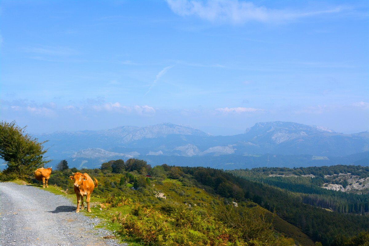
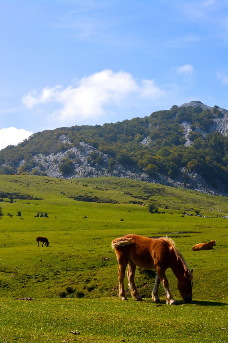
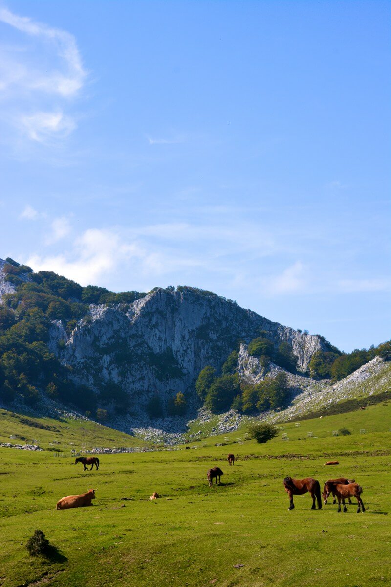
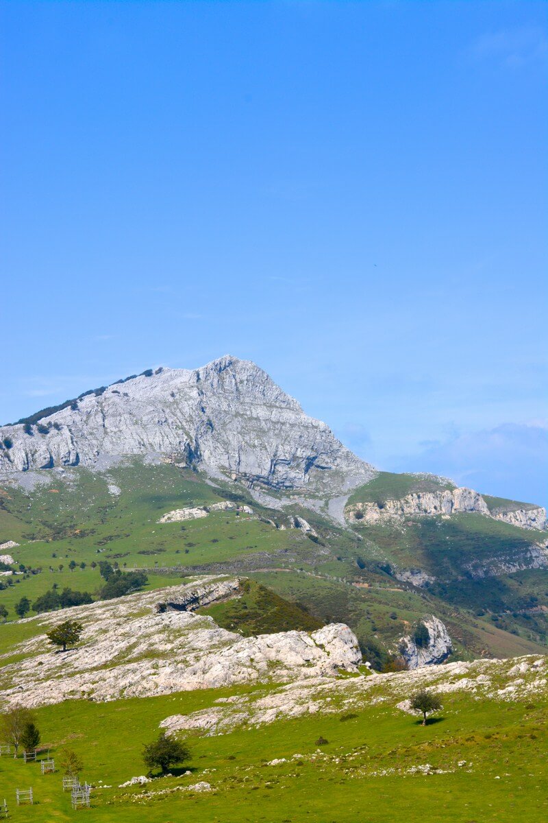
Once we left the Phoenix city limits, the scenery became more desert-like, as the highway wound through cacti-covered hills and scruffy, rural land. I am so easily wowed by any non-urban landscape, and really enjoyed the views.

on the road to flagstaff

on the road to flagstaff

Flagstaff. Paul drove to Arizona from Albuquerque, and we met up with him in Flagstaff. We only had a few hours to spend there, but I wished we’d had more time to explore. The historic downtown runs along Route 66 and has lots of funky little cafes, coffee shops and boutiques.

flagstaff

We were in the mood to sample some local brews, so we opted for lunch outside at Beaver Street Brewery.В I had the (very girly) raspberry-flavored Bramble Berry Brew and a wood-fired pizza. It was tasty—and it ended up being the best meal of the trip. By far. (More about the underwhelming food later in the post!)

beaver street brewery

mal and peter at beaver street

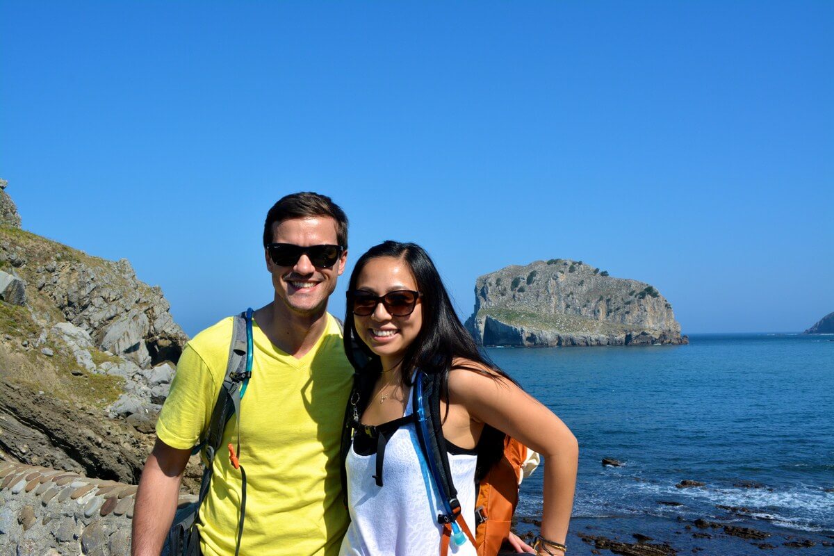
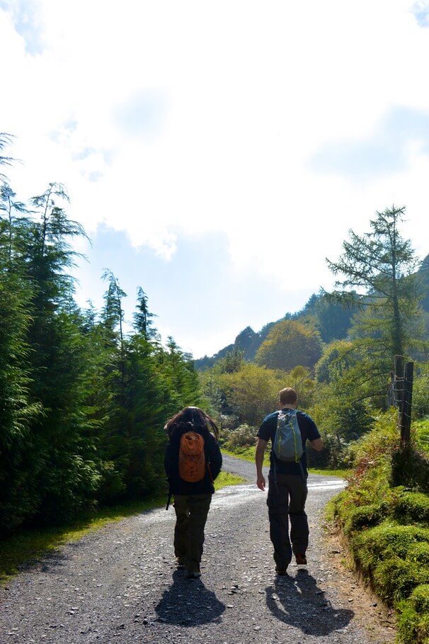
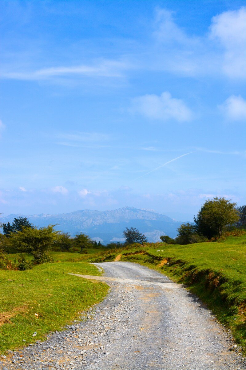
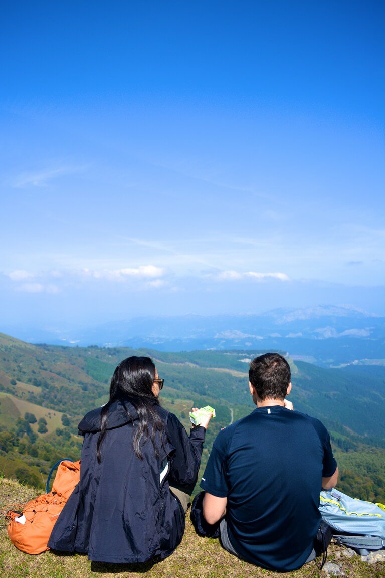
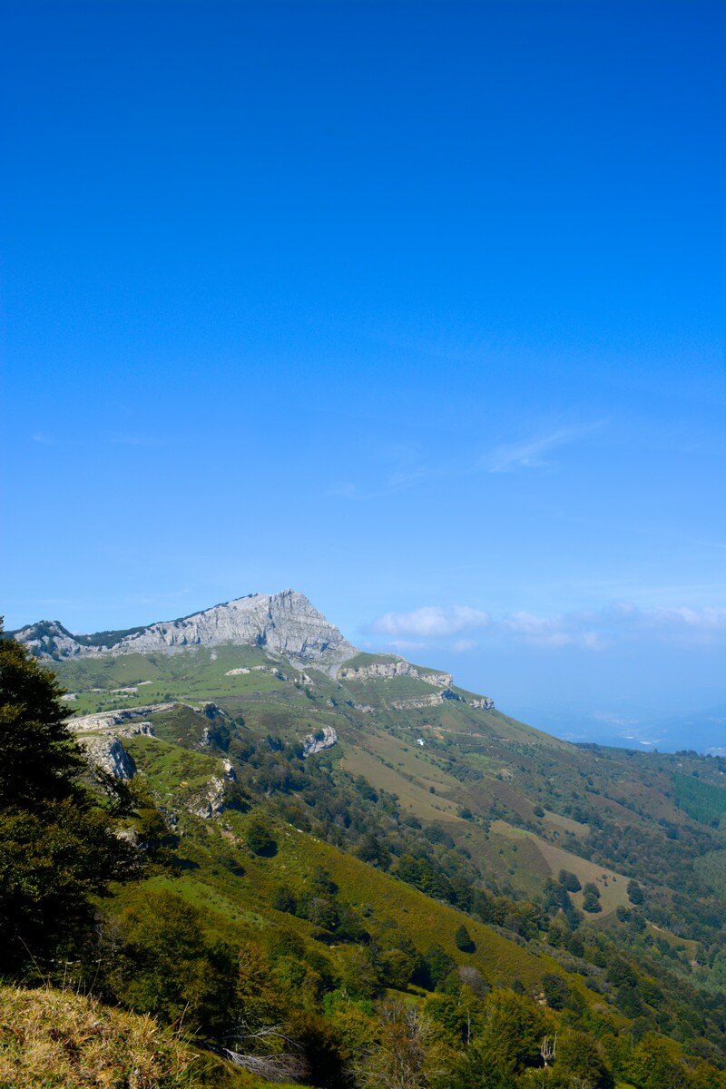
The Bright Angel Trail. On Sunday, Peter, Paul and I met up with Drew and Britney, two of Mal and Peter’s friends who live in Arizona and met us for a day. They only had a short time to hike, so we did a portion of the Bright Angel trail, which descends into the canyon, eventually ending at the bottom.

As a do-something-all-the-way-or-don’t-do-it-at-all girl, I, of course, was tempted to make it to the bottom and back in one day—nevermind that we started hiking a noon. But notices all over the park and the NPS website warn against it, probably because they’re sick of rescuing too many overly ambitious tourists from the canyon. In fact, at every trailhead, there’s a sign that asks, “Can you run the Boston Marathon?” and tells the horrible story of Margaret Bradley, an athletic med student who ran a 3-hour Boston Marathon, but died from heat exhaustion while hiking the canyon in 2004. (The trail she was on was nearly twice as long as she thought and she didn’t have enough food or water for such a long hike.) A fair warning, but, wow, a morbid way to begin a trek. (Though I’m sure tons of people have made it to the bottom and back in one day—Britney’s parents did once! And really—when would you ever see a sign like that in another country?)

can you run the boston marathon?

The Bright Angel trail is well-trodden and people of all ages were walking it. I’ll admit, I was a little unnerved when I first set foot onto it, though. I’m used to hiking mountains and volcanoes without steep dropoffs. Seeing how deep the canyon goes was a little freaky, at first! But within a few minutes, my fears were gone and I just enjoyed the views.

view from the bright angel trail

view from the bright angel trail

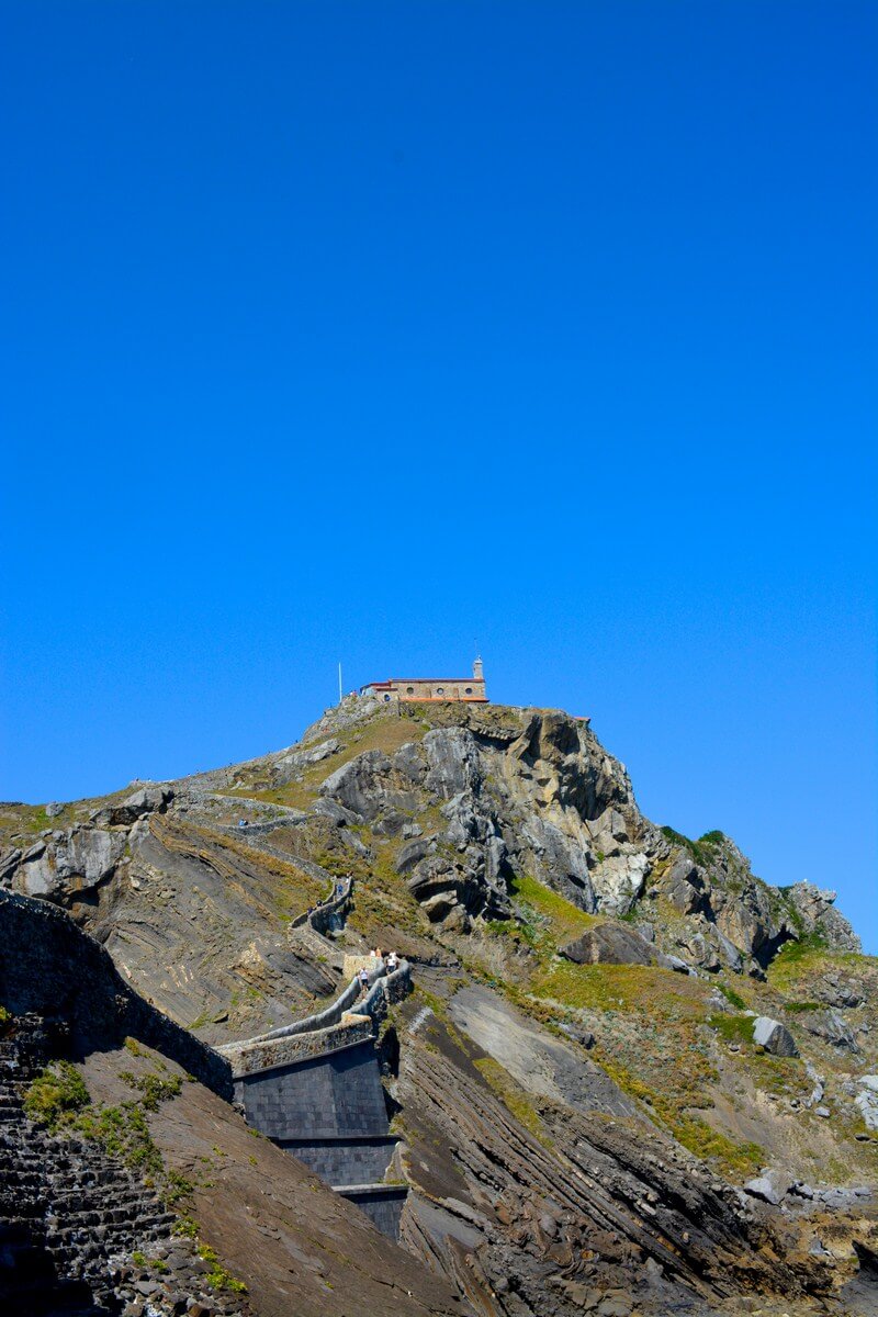
Sunset at Desert View Point. We made the 25-mile drive to check out the Watchtower. ItВ was built in 1932 but now houses a.gif"ltr" style="text-align:center;"> desert view watchtower

the view near the watchtower

the view near the watchtower

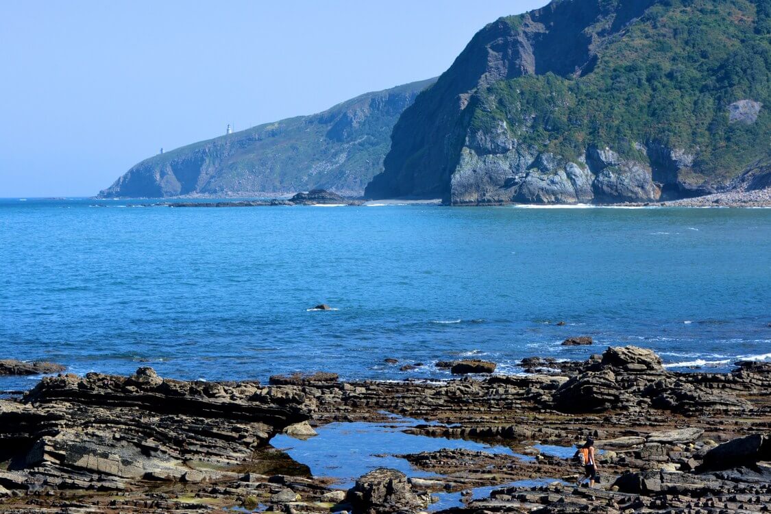
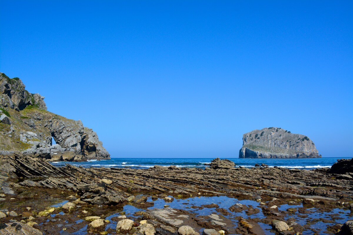
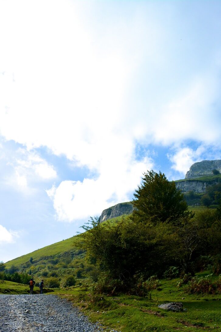
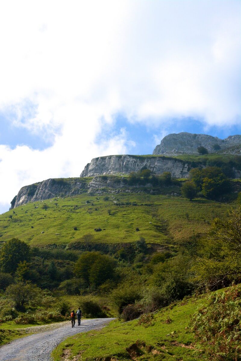
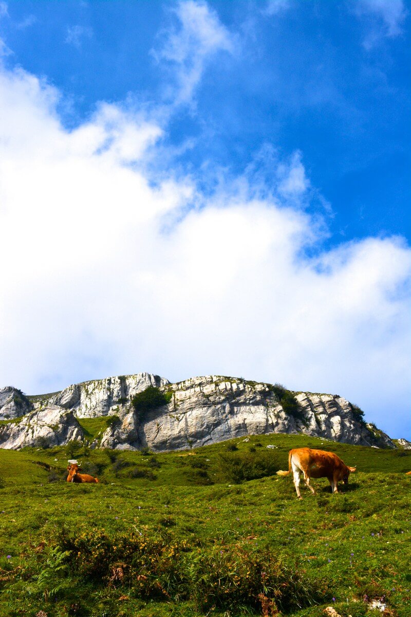
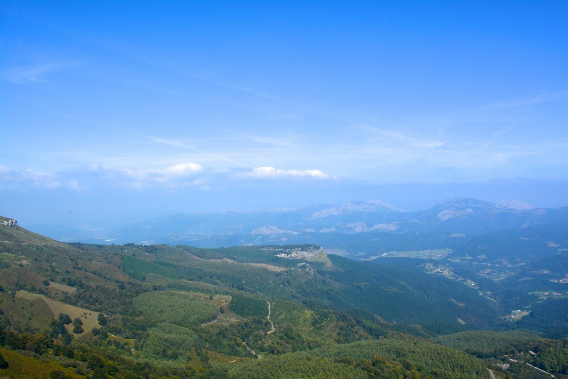
South Kaibab Trail. Honestly, I think we picked this hike because while we were reading all the trail descriptions, we nicknamed this one the “Kabob Trail”—and were more amused at that than we should have been. Plus, a fellow travel blogger, Drew, recommended it because it takes you through a good portion of the canyon. He was right—the scenery varies quite a bit within a short distance, so it was the perfect afternoon hike.

south kaibab trail

south kaibab trail

ooh ahh point

A very aptly named point on the trail!

We hiked down to a point called Cedar Ridge. We’d decided on that as our turn-around point because…there was a bathroom there.

cedar ridge

cedar ridge

Then, we headed back up and out of the canyon.

the grand canyon

burgs hiking

…So what was the worst part of the Grand Canyon? The food! Tusayan, the nearest “town,” where we stayed, is really lacking in good restaurants. Everything we ate was mediocre, at best. (No joke, we had two meals at a place called “We Cook Pizza and Pasta”—though not very well, I might add.) Can someone please open up a good brewpub there?

Have you been to the GC? What was the highlight of your trip?

Weekend Cooking: Jordan Pond Popovers

Acadia National Park

Last summer, I spent a long weekend at Acadia National ParkВ with my then-boyfriend.

Acadia National Park

We hiked to the top of five mountains (which sounds more impressive than it is–the tallest one, Cadillac, is onlyВ 1,530 feet)…

Cadillac Mountain Sunrise

…saw the sun rise from the top of Cadillac, which is the first point in North America that daylight hits between October 7 and March 6…

Acadia National Park

…and took a bunch of ridiculous pictures.

Popovers at Jordan Pond House

On our last day, we ate at Jordan Pond House, a restaurant in the park known for tea and popovers. I hadn’t had a popover before, but was pretty enamored at first bite. The warm pastries were chewy on the outside and light and airy in the center–almost like a less flaky, less buttery croissant that had been puffed up. We ended up bringing home the restaurant’s official popover pan and recipe.

I don’t know what triggered it, but a popover craving hit me last week. So on Saturday morning, despite having a full eating agenda on my weekend calendar (Indian buffet Saturday night at Chand Palace and Sunday brunch at Fred’s), I decided to whip up a batch.

There are three things I like about the Jordan Pond popover recipe: 1) It’s drop-dead simple. 2) It only requires a few ingredients that are, for baked goods, relatively healthy (no heavy cream or butter). 3) It makes six pastries–so you don’t end up struggling to eat/give away a dozen for days afterward.

Flour, Eggs, Milk

You mix two eggs, 1 cup milk (I use skim), 1 cup sifted flour, 1/4 teaspoon salt and a speck of baking soda…

Popover Batter

…fill each popover holder halfway and bake at 425 degrees for 15 minutes and then at 350 degrees for another 15-20 minutes. (Don’t open the oven door when changing temperature.)

Popovers

And voila! No trip to Maine required. (Though the view from the Jordan Pond House lawn is a little more tranquil and scenic than that of my Washington Heights apartment.)

The Bubbles